
The MODIS Characterization Support Team (MCST) is dedicated to the production of a high quality MODIS calibration product. This product is a precursor to every geophysical science product. MCST works for the Science Team Leader and is responsible for developing and maintaining the calibration product (L1B algorithm). MCST is responsible for developing the physical basis for sensor calibration.
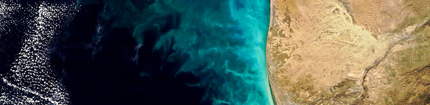
The Moderate Resolution Imaging Spectroradiometer (MODIS), is an imaging radiometer employing multiple in-track detectors and a cross-track scan mirror and collecting optics, and a set of individual detector elements which will provide imagery of the Earth’s surface and cloud cover in 36 discrete spectral bands. Contiguous scan swaths of 2330km in cross-track by 10km in-track are acquired to provide 2-day repeat observations of the Earth. Its task is to develop a detailed understanding of the Earth and the dynamics of global change.
MODIS is the keystone instrument on the Terra mission, launched on December 18, 1999, and also on the Aqua mission, launched May 4, 2002. The EOS Project is designed to collect data for 15 years in order to differentiate short-term and long-term trends, as well as, regional and global phenomena.
MODIS Instrument Views
Exploded View of MODIS Subsystems
MODIS Specifications
| Primary Use | Band | Bandwidth1 | Spectral Radiance2 |
Required SNR3 |
|---|---|---|---|---|
| Land/Cloud/Aerosols Boundaries |
1 | 620 - 670 | 21.8 | 128 |
| 2 | 841 - 876 | 24.7 | 201 | |
| Land/Cloud/Aerosols Properties |
3 | 459 - 479 | 35.3 | 243 |
| 4 | 545 - 565 | 29.0 | 228 | |
| 5 | 1230 - 1250 | 5.4 | 74 | |
| 6 | 1628 - 1652 | 7.3 | 275 | |
| 7 | 2105 - 2155 | 1.0 | 110 | |
| Ocean Color/ Phytoplankton/ Biogeochemistry |
8 | 405 - 420 | 44.9 | 880 |
| 9 | 438 - 448 | 41.9 | 838 | |
| 10 | 483 - 493 | 32.1 | 802 | |
| 11 | 526 - 536 | 27.9 | 754 | |
| 12 | 546 - 556 | 21.0 | 750 | |
| 13 | 662 - 672 | 9.5 | 910 | |
| 14 | 673 - 683 | 8.7 | 1087 | |
| 15 | 743 - 753 | 10.2 | 586 | |
| 16 | 862 - 877 | 6.2 | 516 | |
| Atmospheric Water Vapor |
17 | 890 - 920 | 10.0 | 167 |
| 18 | 931 - 941 | 3.6 | 57 | |
| 19 | 915 - 965 | 15.0 | 250 | |
| Primary Use | Band | Bandwidth1 | Spectral Radiance2 |
Required NE[delta]T(K)4 |
| Surface/Cloud Temperature |
20 | 3.660 - 3.840 | 0.45(300K) | 0.05 |
| 21 | 3.929 - 3.989 | 2.38(335K) | 0.20 | |
| 22 | 3.929 - 3.989 | 0.67(300K) | 0.07 | |
| 23 | 4.020 - 4.080 | 0.79(300K) | 0.07 | |
| Atmospheric Temperature |
24 | 4.433 - 4.498 | 0.17(250K) | 0.25 |
| 25 | 4.482 - 4.549 | 0.59(275K) | 0.25 | |
| Cirrus Clouds Water Vapor |
26 | 1.360 - 1.390 | 6.00 | 150(SNR) |
| 27 | 6.535 - 6.895 | 1.16(240K) | 0.25 | |
| 28 | 7.175 - 7.475 | 2.18(250K) | 0.25 | |
| Cloud Properties | 29 | 8.400 - 8.700 | 9.58(300K) | 0.05 |
| Ozone | 30 | 9.580 - 9.880 | 3.69(250K) | 0.25 |
| Surface/Cloud Temperature |
31 | 10.780 - 11.280 | 9.55(300K) | 0.05 |
| 32 | 11.770 - 12.270 | 8.94(300K) | 0.05 | |
| Cloud Top Altitude |
33 | 13.185 - 13.485 | 4.52(260K) | 0.25 |
| 34 | 13.485 - 13.785 | 3.76(250K) | 0.25 | |
| 35 | 13.785 - 14.085 | 3.11(240K) | 0.25 | |
| 36 | 14.085 - 14.385 | 2.08(220K) | 0.35 | |
| 1 Bands 1 to 19 are in nm; Bands 20 to 36 are in µm 2 Spectral Radiance values are (W/m2 -µm-sr) 3 SNR = Signal-to-noise ratio 4 NE(delta)T = Noise-equivalent temperature difference Note: Performance goal is 30-40% better than required |
||||